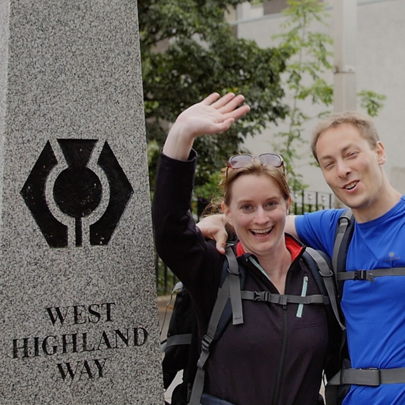
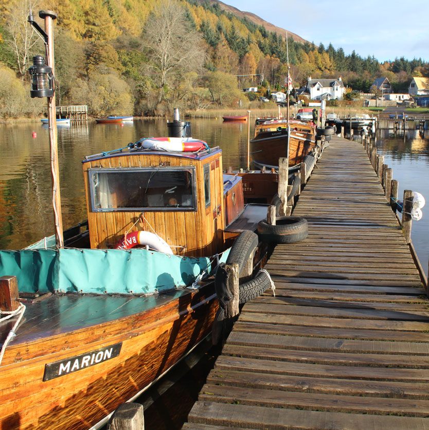
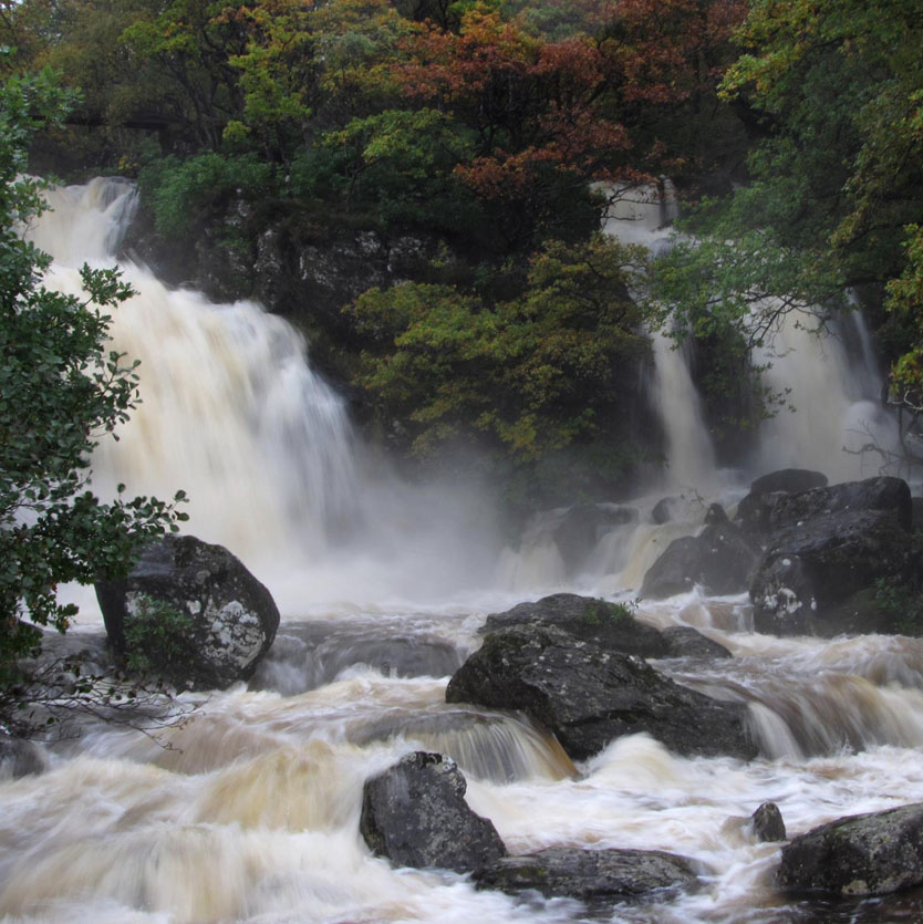
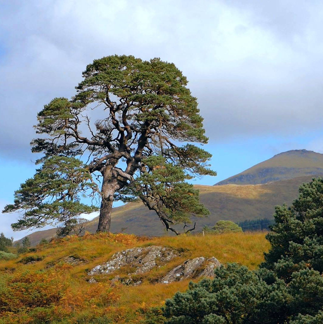
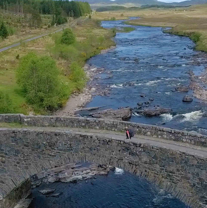
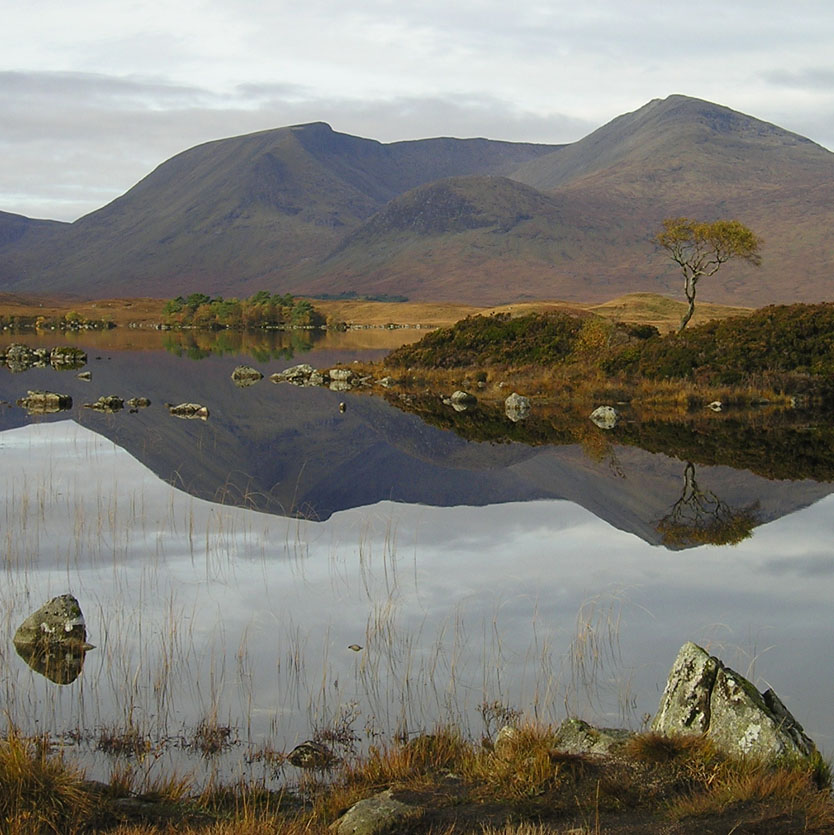
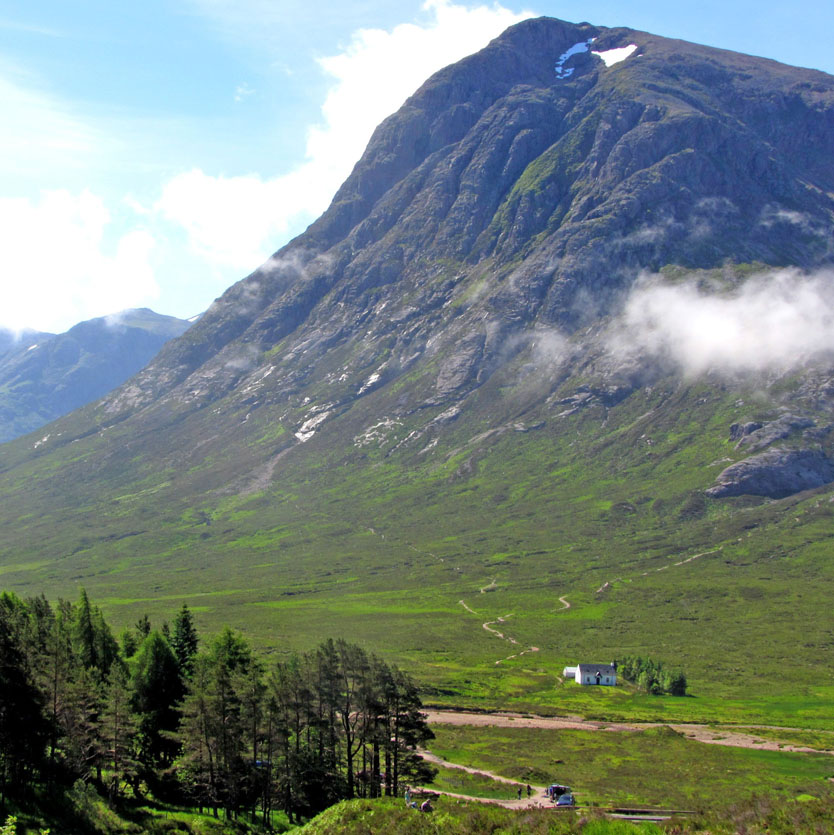
The West Highland Way stretches 96 miles (154 Km) from Milngavie to Fort William, taking in a huge variety of scenery along the way, from countryside parks to loch-shores and open moorlands to steep mountains.
Normally the route is completed from south to north, the thinking behind this being the southern stages are easier and will prepare you for the more demanding northern stages.
Due to the variety of distances involved, these sections should not necessarily be considered as a day’s activity. Planning of stage lengths should be based upon ability and fitness and the opportunities available to explore places of interest along the route. See our itineraries section for ideas on how to split up the route.
You can also download GPS tracks for your mobile app or GPS navigation device by clicking on each route section.
Tha Slighe Taobh an Iar na Gàidhealtachd 96 mìltean (154 km) a dh’fhaid. Tha i a’ ruith bho Mhuileann-Ghaidh chun a’ Ghearasdain, is a’ toirt a-steach farsaingeachd air leth de sheallaidhean thar na slighe, bho phàircean dùthchail gu cladaichean, lochan is mòintich, gu beanntan cas.
‘S àbhaist do dhaoine an t-Slighe a thòiseachadh aig deas agus a crìochnachadh aig tuath, air sgàth is gu bheil ìrean na Slighe nas fhasa aig deas, is tha seo gad ullachadh airson na h-ìrean as dùbhlanaiche agus as duilighe aig tuath.
Tha farsaingeachd astair an lùib na Slighe, mar sin cha bu chòir smaoineachadh air na h-ìrean seo mar dhùbhlan aona latha. Bu chòir gach neach astar gach ìre a phlanadh a rèir am fallaineachd agus an comas, agus a rèir na cothroman a th’ ann a dhol a rannsachadh is a dh’fhaicinn diofar àitichean air an t-Slighe. Bheir sùil air an duilleag againn mu chlàran-siubhail airson beachdan air mar as urrainnear an t-Slighe a roinn na h-earrannan.
Faodaidh tu tracaichean GPS a’ luchdachadh a-nuas air app air a fòn-làimhe agad neo air inneal-iùil GPS, tro bhith brùthadh air gach earrann den t-Slighe.
Distances
- Milngavie to Drymen: 12 miles/19 km
- Drymen to Rowardennan: 15 miles/24 km
- Rowardennan to Inverarnan: 14 miles/22.5 km
- Inverarnan to Tyndrum: 12 miles/19.5 km
- Tyndrum to Inveroran: 9 miles/14.5 km
- Inveroran to Kingshouse : 10 miles/16 km
- Kingshouse to Kinlochleven: 9 miles/ 14.5 km
- Kinlochleven to Fort William: 15 miles/24 km
Find out distances between more locations along the West Highland Way using the mileage chart lower down the page.
The British Horse Society Scotland have produced notes to help those interested in using part of or all of the waymarked route which identify locations and give brief details of features which may restrict multi-use of the West Highland Way.
Contains OS data © Crown copyright and database right 2017. This map is not intended for navigation purposes.
The following link is for the official guide of the West Highland Way, which includes comprehensive maps:
There are two other guides available via our online shop or this West Highland Way journal was written by the Wee Munro Team and 25% of any profits will go back to the West Highland Way to protect its future.
Another option would be to use an app such as Hiiker.
Elevation profile

Route sections
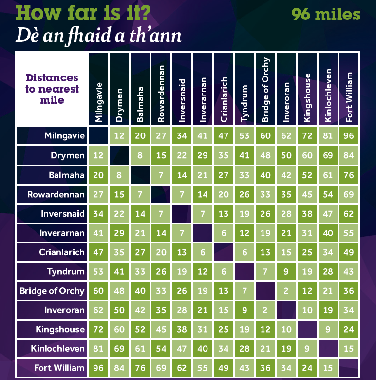
How far is it?
Distances to the nearest mile between locations along the trail